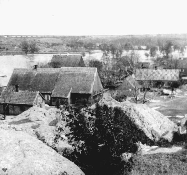
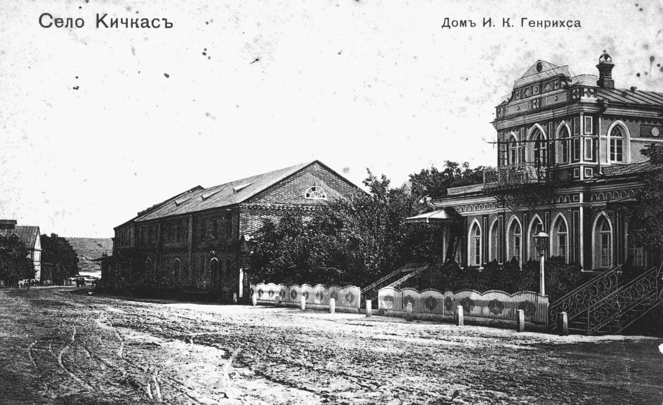
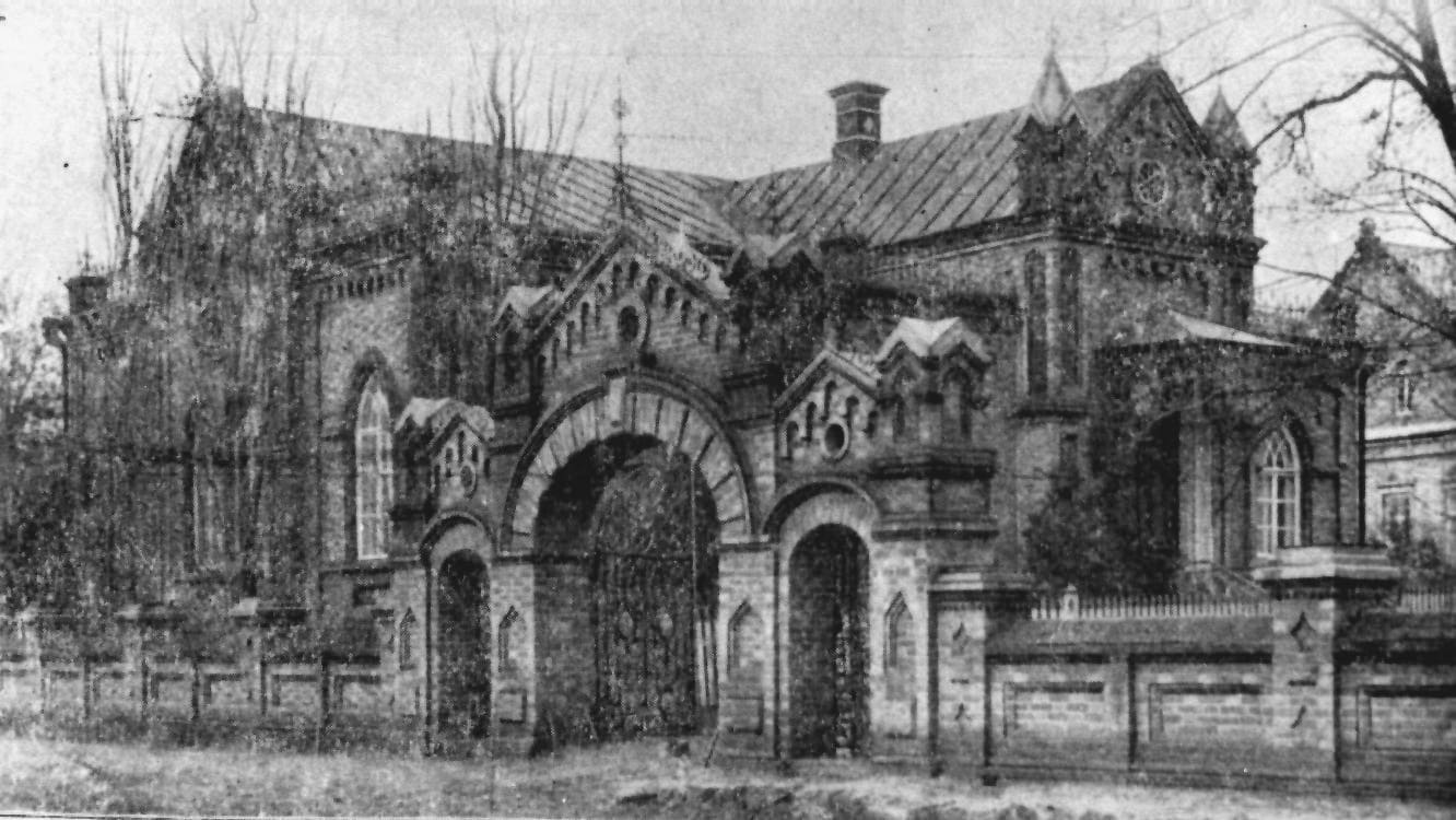
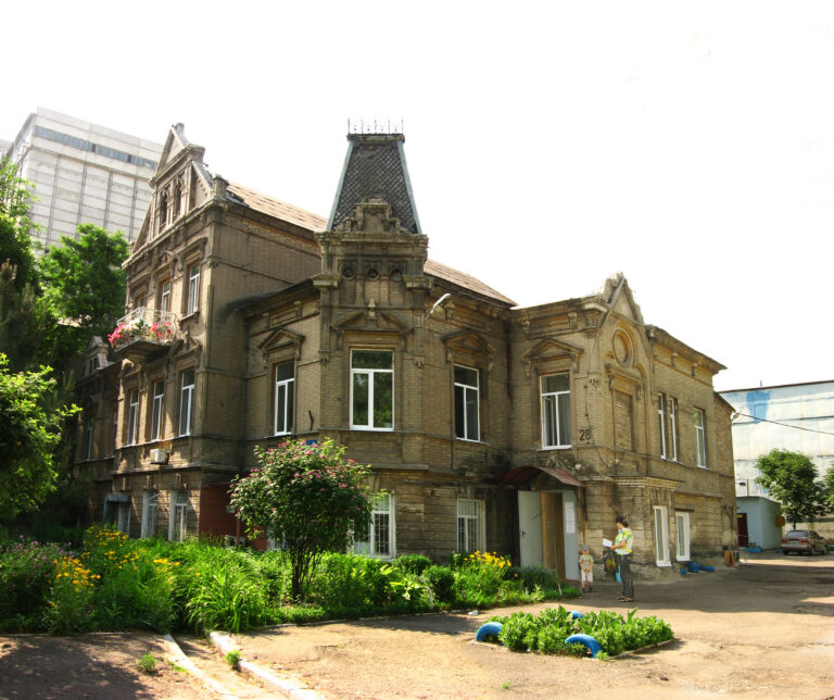
The Mennonite Heritage of Zaporizhzhia

Engineering memory

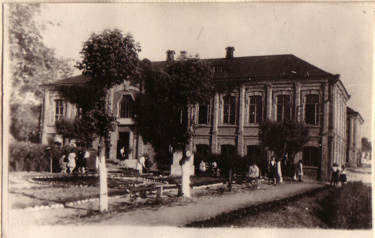
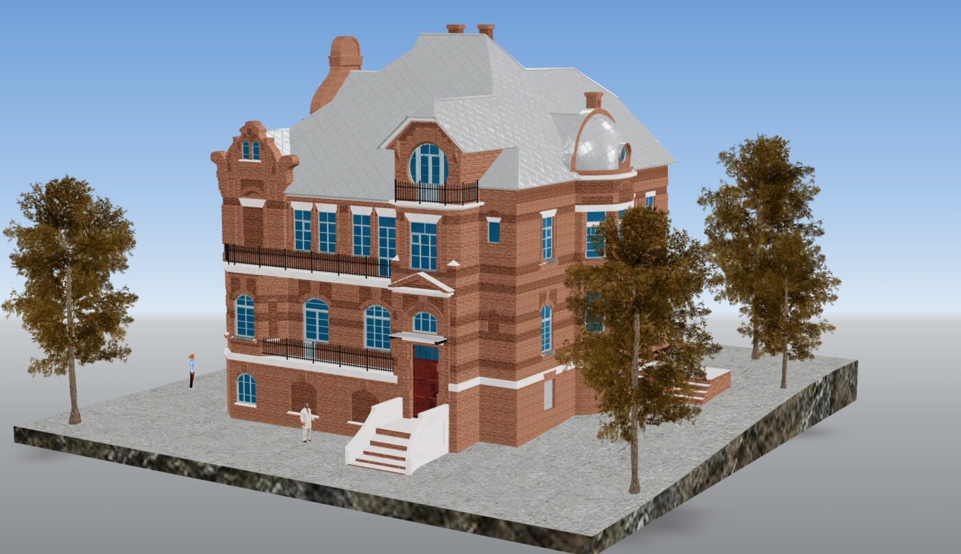
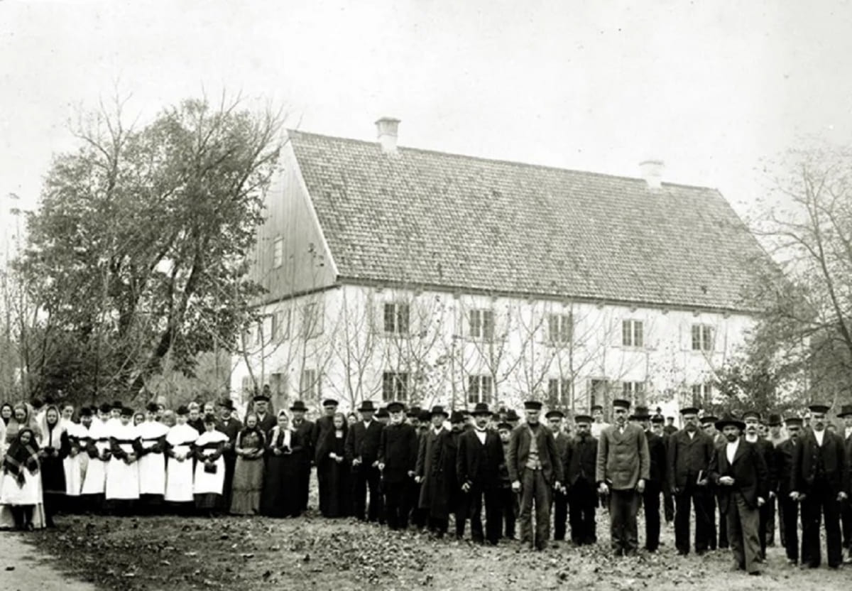
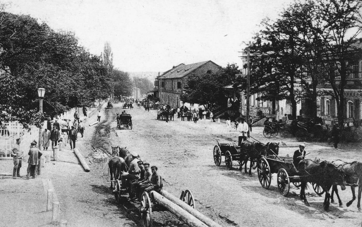
We are bringing the Mennonite heritage back into the city's public space. Explore the colonists' landmark buildings via a map, 3D models, and an audio guide.
  • Map of locations

    All landmarks of the former colonies on a single city map.

  • 3D models

    Buildings and details that can be rotated and viewed up close.

  • Audio guide

    Listen to stories about each site—on-site or at home.

  • History

    Who are the Mennonites, and how did they transform the steppe region?
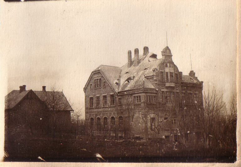
Over two centuries of history

  1. 1789

    The first Mennonite settlers arrive in the territory of present-day Ukraine and establish the Khortytsia colony near Zaporizhzhia. This marks the beginning of a significant Mennonite presence in southern Ukraine.

  2. 1804

    A second large Mennonite colony emerges—the Molochna colony—near the Molochna River, in the territory of the present-day Zaporizhzhia region.

  3. 1835

    There were approximately 1,600 Mennonite families in 72 colonies across the Katerynoslav and Tavria governorates.

  4. 1874

    The imperial authorities revoke some of the Mennonites' privileges, restrict their self-government, and introduce compulsory service—though a non-military alternative is provided for Mennonites. Mass emigration to Canada and the United States begins.

  5. 1911

    A period of economic prosperity. Mennonite entrepreneurs played a prominent role in the agriculture, machinery manufacturing, and flour-milling industries of southern Ukraine. By 1911, approximately 104,000 Mennonites lived there.

  6. 1917–1921

    Revolution and wars shatter the established way of life in the Mennonite colonies. Farms are subjected to looting, requisitions, and violence.

  7. 1930s

    Collectivization, dekulakization, and deportations. Mennonite farms are liquidated, and many people are exiled to Siberia and other regions of the USSR.

  8. 1941–1945

    World War II definitively destroyed the historical system of Mennonite colonies: part of the population was evacuated to the east in 1941, while another part retreated westward with German troops in 1943.

  9. Today

    We study, digitize, and open preserved buildings to visitors.

Map of the colonies

Locate the former Mennonite colonies on the map of modern-day Zaporizhzhia: each marker leads to a page featuring a photo, a 3D model, and audio.

Open map

3D models

Rotate, zoom in, and examine details that aren't visible from the street.

View all models

Audio guides

Start the narration when you are near the building, or listen to the entire tour at home.

All audio tours

About the project

The project is being implemented by the Zaporizhzhia Scientific Society.

More details about the project

Partners and Support